Skip to main content
Skip to "About this site"
Language selection
Français
fr
/
Gouvernement du Canada
Search
Search PSPC
Search
Menu
Main
Menu
Jobs and the workplace
Immigration and citizenship
Travel and tourism
Business and industry
Benefits
Health
Taxes
Environment and natural resources
National security and defence
Culture, history and sport
Policing, justice and emergencies
Transport and infrastructure
Canada and the world
Money and finances
Science and innovation
Topics menu
Home
How government works
Treaties, laws and regulations
Canada Gazette
Publications
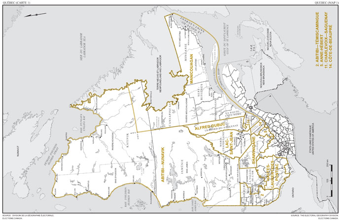
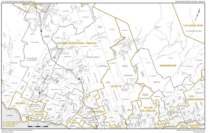
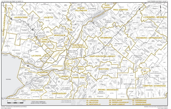
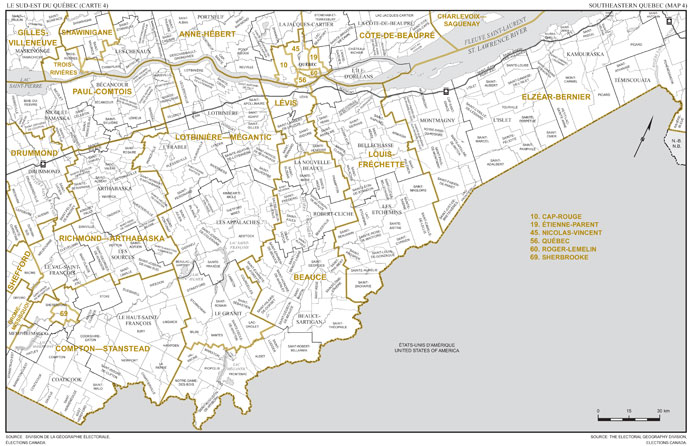
Part I: Vol. 146 (2012)
August 4, 2012
Supplement — August 4, 2012